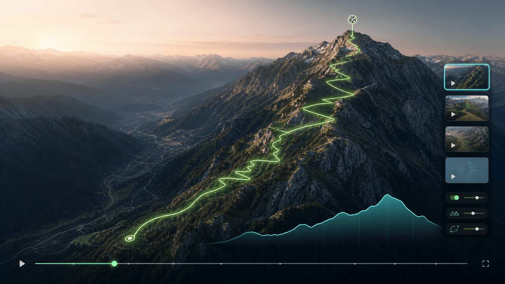
Turn GPX routes into cinematic 3D map videos
Upload GPX, KML, or GeoJSON files to create Hollywood-grade 3D flyovers, race course previews, trail recaps, and social route videos in 4K 60FPS — without After Effects.
A faster way to explain where the route goes and why it matters.
PathCine combines real DEM 3D terrain, intelligent camera flight dynamics, multi-segment transit, and instant browser hardware encoding into a cohesive studio.
Upload the route
Start from GPX, KML, or GeoJSON. Keep the route data, waypoints, distance, and elevation as the source of truth.
Preview the flyover
See the route line, terrain framing, camera motion, markers, and elevation profile before spending credits on export.
Export for the channel
Prepare race briefings, YouTube route intros, Reels, Shorts, and brand promos from the same project.
Made for route communication, not generic travel decoration.
The first product focus is practical route storytelling for outdoor teams that need clarity, speed, and a polished final video.
Show starts, finishes, climbs, aid stations, and course hazards before event day.
Turn hikes, rides, and runs into terrain-aware videos that make the journey legible.
Add a clean route flyover to YouTube, Reels, Shorts, and destination stories.
Readable camera mode
Camera defaults favor stable motion and route clarity over dizzy spins and dramatic over-zooming.
GPX repair before render
Flag dense tracks, missing elevation, route gaps, and messy uploads before they become render failures.
Elevation and markers
Build videos around the details outdoor audiences actually read: climbs, checkpoints, distance, and branded markers.
Pricing
Start free, then export polished route videos when you are ready. Cancel anytime.
Free
- 30 monthly credits
- Browser video exports
- Basic GPX/KML route import
- Core product features
- Community support
- 30 credits / month (~3 videos)
- 720p quality
- Watermark
- Link Discord for bonus credits
Hobby
- 300 monthly credits
- Browser MP4 exports
- Landscape and vertical formats
- 300 credits / month
- ~30 videos / month
- No watermark
- Image to Video
- Credit refills
Creator
POPULAR- 850 monthly credits
- Browser MP4 exports
- Landscape and vertical formats
- 850 credits / month
- ~85 videos / month
- No watermark
- Priority rendering
- Motion Transfer
- Image to Video
- Credit refills
Business
- 1000 monthly credits
- Browser MP4 exports
- Landscape and vertical formats
- 1,000 credits / month
- Free regular videos
- No watermark
- Priority rendering
- Motion Transfer
- Image to Video
- Credit refills
Frequently asked questions
Common questions about creating cinematic 3D route films with PathCine.